

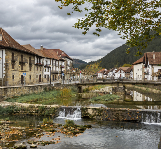
De Arguedas a Ochagavía
 Arguedas
Esta ruta recorre Navarra de sur a norte, o de norte a sur. Desde Arguedas, en la Ribera navarra hasta Ochagavía en el Pirineo. Tú eliges si quieres hacerlo en 3 o 4 días. La ruta pasa por las localidades de Sangüesa, Aoiz, Burguete y Ochagavía.
Sections
Arguedas-Sangüesa (1st stage)
Gravel
76.87 km
470.0 m
Baja
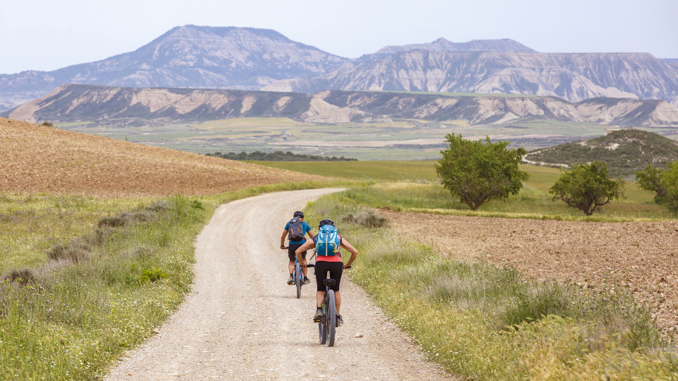
The route starts next to the flooded rice paddies south of Arguedas and heads north through the immensity of the Bardenas Reales desert. A spectacular contrast, a preview of what awaits you on a larger scale on this route. As soon as you set off, you cross Bardenas Reales, where no water is available until you reach Carcastillo, at km 40. Something to bear in mind, especially when it’s hot.
Riding through Bardenas Reales is always spectacular: from the iconic sculpted rock of Castildetierra to the picturesque geological formation of Los Blanquizales. You ride through numerous areas dotted with ravines until you reach El Paso, where you’ll find a sculpture in honour of shepherds and you leave this unique terrain behind.
The second part of the route begins in Carcastillo, passing from the desert to the banks of the Aragón river. From here you gradually enter the Navarrese pre-Pyrenees, the picturesque village of Gallipienzo looking down on you from the left, its Roman bridge registering your arrival.
The last part of the route takes you through an area with fertile vegetable gardens irrigated by the Aragón river, an easy stretch which, after passing Cáseda, leads you to Sangüesa.

Sanguesa-Aoiz (2nd stage)
Gravel
51.67 km
828.0 m
Baja
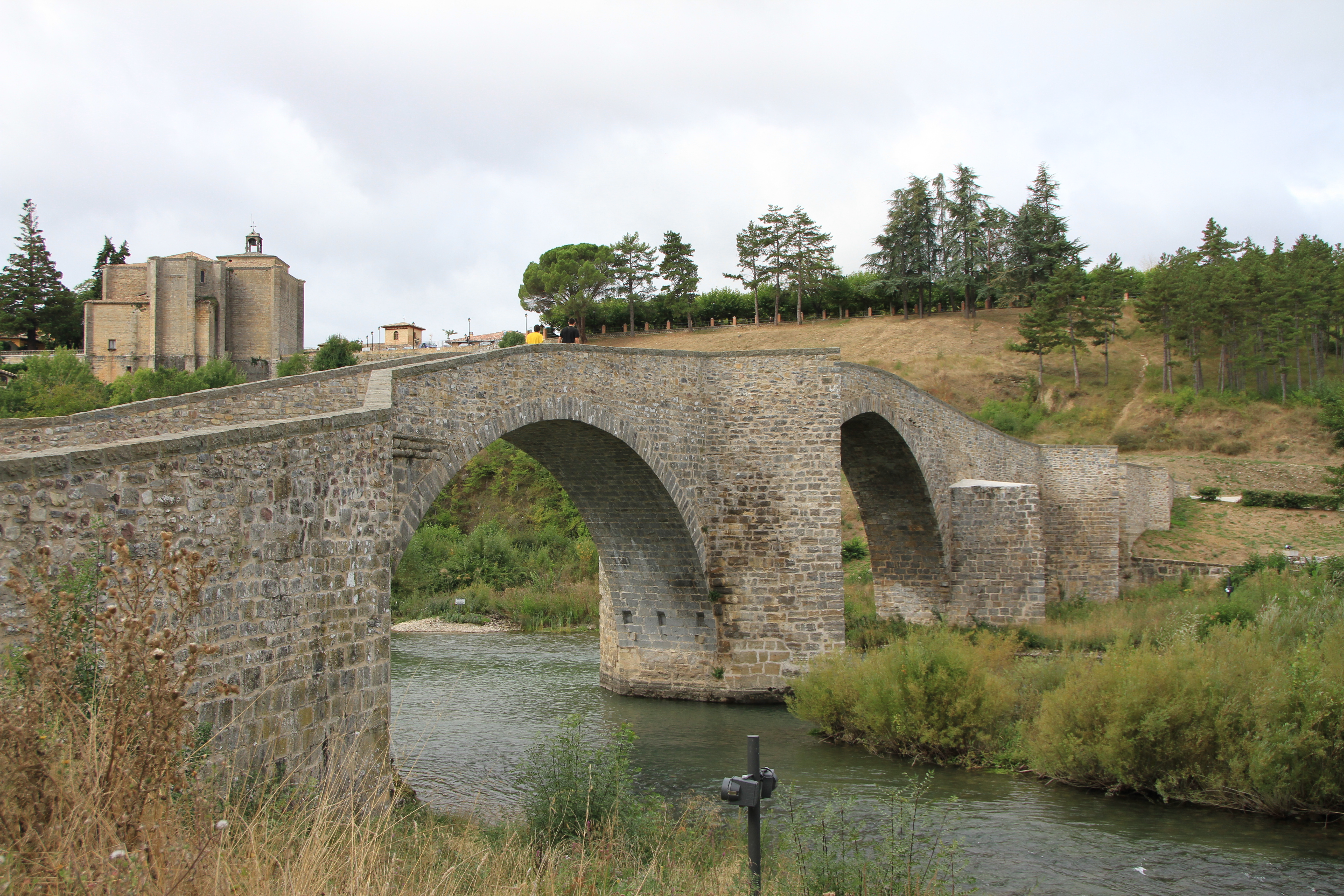
This stage takes you through the pre-Pyrenees, a transition zone between the arid south and the rainier, greener north, starting from Sangüesa, a town brimming with history thanks to its position on the border with the Kingdom of Aragón and on the route of the Way of St James arriving from Canfranc.
Initially there is small detour to visit the castle of Javier, a striking building and birthplace of the patron saint of Navarre, Saint Francis Xavier. Back in the vicinity of Sangüesa, in Liédena, the route follows the path of the old Irati railway, now the Irati rail trail, allowing you to pass through one of the most spectacular areas in Navarre: the Gorge of Lumbier.
And then on to Lumbier, a village that bore witness to bloody wars in the 19th century: the French invasion and subsequent Carlist wars. There are still visible traces of the battles that took place there, such as the bridge destroyed in the gorge on the way in from Liédena.
The last part of the ride alternates between the rail trail and the adjoining road. It will be possible to complete almost the entire route on the rail trail when the work to get it ready has finished.
Aoiz-Ochagavía (3rd stage)
Gravel
96.25 km
1691.0 m
Baja
The queen stage of this route largely follows the route of EuroVelo 3 along gravel tracks and minor roads, passing through a landscape which, as you get further north, becomes more and more mountainous.
Near the village of Nagore, you skirt the Itoiz reservoir to the Arce palace. This is where the first hard part of the day begins as you ride along the side of the Arce valley and there is considerable elevation gain. There is the option of taking the road up the valley (NA-1720), which has very little traffic and involves much less elevation gain.
At kilometre 35, you reach the area of meadows where the villages of Burguete and Roncesvalles, full of charm and influenced by the passage of the Way of St James, sit.
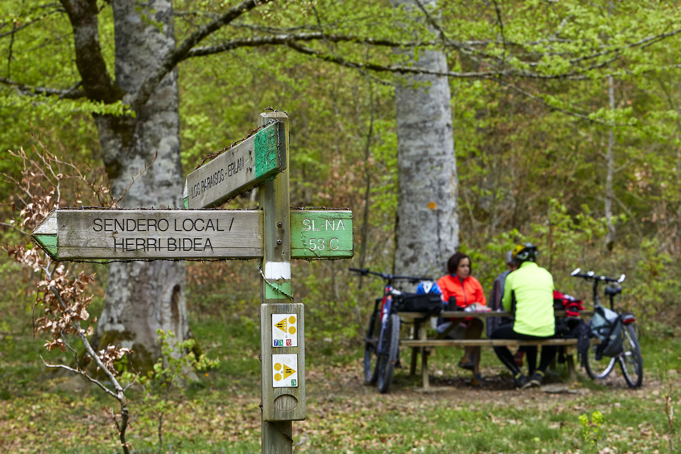
Without leaving EuroVelo 3, just past Roncesvalles there comes a tough stretch, this time in the Pyrenees proper. The Orbaizeta Arms Factory, located at km 50, announces that the Irati forest is very close. After riding up a concrete track, you enter Irati, which is one of the largest and best conserved beech-fir forests in Europe. You ride around the Irabia reservoir before tackling Alto de Tapla by asphalt and descending to the end of this stage: Ochagavía.
Aoiz-Burguete (3rd stage-four days)
Gravel
50.79 km
953.0 m
Baja
A large part of the route now follows that of EuroVelo 3, travelling on newly laid gravel tracks, where, despite some slopes, pedalling is made easier.
As you get further north, the landscape becomes mountainous and oak and beech forests replace the pine trees. Near the village of Nagore, cross the Itoiz reservoir over the dam across its tail. You then skirt the reservoir along one of its shores for a few kilometres until you reach the Arce palace, designed to house a range of services in the future.
This is where the most demanding part of the day starts because, although you are still on the EuroVelo 3 route, it now runs along the side of the Arce valley and there is considerable elevation gain.
You leave EuroVelo 3 at the small village of Lusarreta and head left to Erro, taking mainly minor roads. Shortly after Bizkarreta-Gerendiain, you leave the N-135, which you have ridden on from Erro, and take the minor road to Sorogain. A few kilometres further on and you take a track to Espinal, and from there it’s back to asphalt all the way to Burguete.
Burguete-Ochagavía (4th stage)
Gravel
58.08 km
971.0 m
Baja
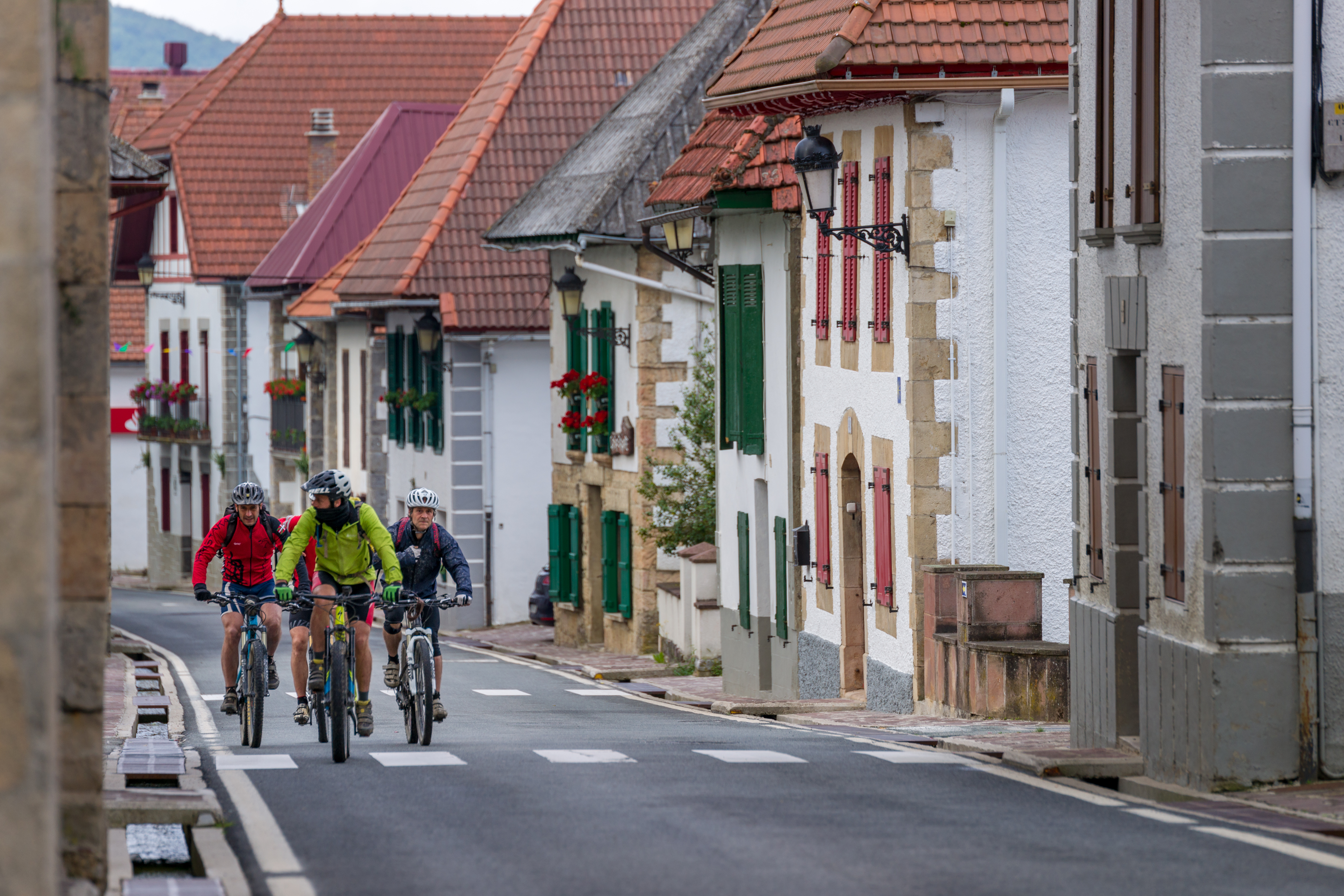
The next stage carries on along the EuroVelo 3 route and, after an easy stretch to Roncesvalles, you then face the first climb of the day. The landscape is fully mountainous and with it the nature of the ride. But all the effort is rewarded with breathtaking views, where the forest seems to merge with the horizon.
At kilometre 12, the Orbaizeta Arms Factory, at the gateway to the Irati forest. This is a good moment to take a rest and see the ruins of what was once one of the most important military industrial facilities in the north of the country.
And then it’s time to carry on, riding up a concrete track into the Irati forest, one of the largest and best conserved beech-fir forests in Europe.
After a few kilometres of pure enjoyment riding around the Irabia reservoir, you reach Casas de Irati, another very popular point from which to enter the forest. Now all you have to do is tackle Alto de Tapla by asphalt and descend to the end of this stage: Ochagavía.
Feel like staying on in nature?
-
Hiking
Hiking
-
Biking
Biking
-
Adventure parks
Adventure parks
-
Rural tourism
Rural tourism
-
Way to St James
Way to St James