
Around Erreniega
 Zizur Mayor


The Sierra de El Perdón, also called Erreniega, serves as a dividing line between the Atlantic and the Mediterranean Navarre. It fences in the capital to the south and offers unbeatable views of the Pamplona district to the north, with the Pyrenees in the background, and the Valdizarbe valley on the other side.
This route begins in Zizur Mayor and skirts the Sierra, the first part following the water route. Climbing up to the top of Guirguillano, it turns off to head to Puente la Reina, a mediaeval village where two routes of the Way of St James meet which is well worth taking a break to see.
Carry on east, skirting the south face of El Perdón and riding along the beautiful Valdizarbe road, next to which stands the enigmatic chapel of Eunate. At the Biurrun junction, turn left to return to the Pamplona basin. This stretch contains the hardest slopes and takes in some of the charming villages in this part of Navarre, which have an interesting history of mining.
Plan your stay


Feel like staying on in nature?
-
Hiking
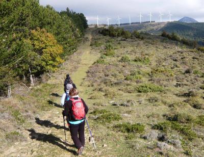
Hiking
-
Biking
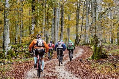
Biking
-
Adventure parks
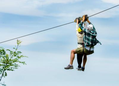
Adventure parks
-
Rural tourism
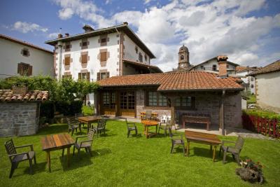
Rural tourism
-
Way to St James
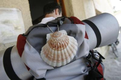
Way to St James